Castlemaine Harbour
Castlemaine Harbour is a place of power and overwhelming beauty.
Located at the head of Dingle Bay, between the Dingle and Iveragh Peninsulas, its dunes protect a complex mixture of mudflats, sandbanks and saltmarshes from the sea. It is also an estuary for two major rivers: the River Laune and the River Maine.
Estuaries are places of transition, where fresh water and sediment from the land mix with salt water, tides and waves from the sea. This mixing of two different ecosystems creates a complex, nutrient-rich web of life for numerous species.
An Ecosystem of International Importance
Castlemaine Harbour’s ecosystem is of such importance that the area has been designated a Ramsar site. What is this?
According to the Ramsar Convention on Wetlands, the term refers to an intergovernmental treaty that “provides the framework for the conservation and wise use of wetlands and their resources. It was adopted in the Iranian city of Ramsar in 1971 and came into force in 1975. Since then, almost 90% of UN member states, from all the world’s geographic regions, have acceded to become ‘Contracting Parties’.”
The Convention’s mission is “the conservation and wise use of all wetlands through local and national actions and international cooperation, as a contribution towards achieving sustainable development throughout the world.”
In 1990, the Irish government declared Castlemaine Harbour as Ramsar site number 470. (The only other Ramsar site in County Kerry is Tralee Bay, Ramsar site number 440.) Also in 1990, the government protected the area legally as a national nature reserve and listed it as both a Special Area of Conservation and a Special Protection Area.

The Importance of Wetlands
Wetlands are areas of land that are saturated with water, either permanently or seasonally, and that have a water table near or at the surface of the land. They form a rich, complex, interdependent ecosystem in which an enormous variety of plants, animals, insects, birds, fish, amphibians and microbes intermingle and thrive.
Among their numerous benefits, wetlands help to:
- Provide habitats for wildlife
- Control floods
- Mitigate climate change
- Replenish groundwater
- Stabilize shorelines
- Reduce coastal storm damage
- Improve water quality
- Encourage biodiversity
Castlemaine Harbour’s Wetlands
The species that thrive within a particular wetland depend upon its unique climate and geography, as well as on the amount and movement of the water that flows through it. The wetlands in Castlemaine Harbour provide shelter and food for a wide range of species, including birds, amphibians and grasses.
Migrating Water Birds
Ireland is on the east Atlantic flyway for water birds that breed in northern latitudes. It also has mild, wet winters. As a result, it provides a winter home for over 50 species of water bird every year. Examples of migrating water birds found in Castlemaine Harbour include light-bellied brent geese, black-tailed godwits, and oystercatchers. To thrive, these birds need undisturbed wetland areas for roosting and feeding.
Natterjack Toads
A special inhabitant of the area is the natterjack toad. Ireland only has three amphibian species, and the natterjack is by far the rarest. It can only be found in a few coastal habitats in southwest Kerry, including the Maharees, Castlegregory and Castlemaine Harbour.
Intertidal Seagrasses
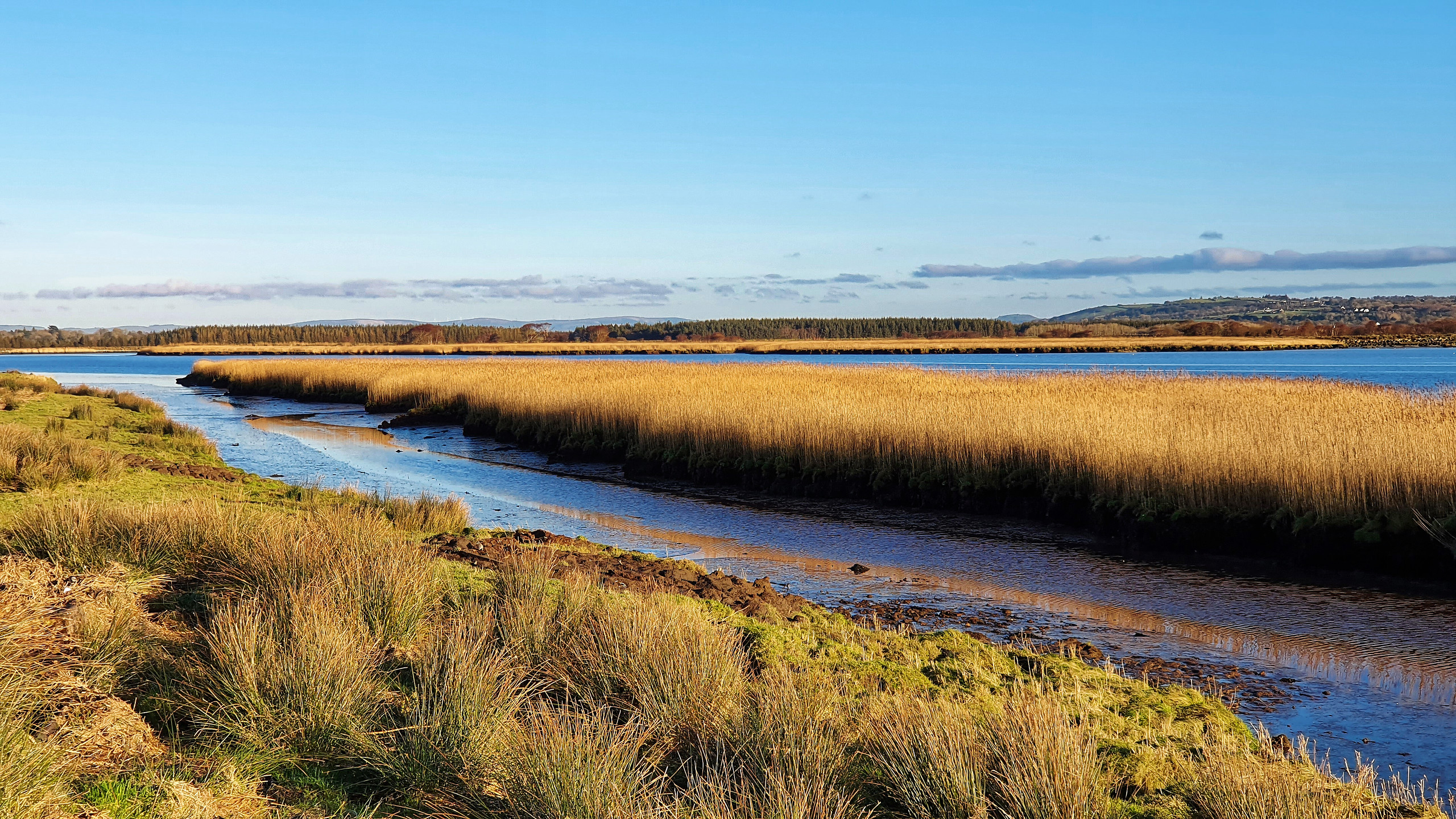
Another special aspect of the harbour is that its mudflats support the fourth largest Zostera noltii beds in Ireland. Also known as ‘eelgrass’ or ‘seagrass,’ these flowering plants provide food, refuge and spawning grounds for a vast array of wildlife. In fact, brent geese eat the grass as their primary food.
The green, grass-like plant has long, narrow, ribbon-shaped leaves and grows in intertidal mud and sand. It traps and stabilizes sediment and acts as a natural coastal defence. In addition, its decaying leaves enrich the sediment and form the foundation of important food chains. For all of these reasons, seagrass is vitally important to all facets of the coastal environment.
Potential Walks
Visitors have the opportunity to enjoy the wetlands up close thanks to a levee that edges the harbour. A small parking lot at Laughtalla Pier, just outside the small village of Boolteens, makes an ideal starting place.
The walk is a bit lumpy because the levee is covered in grass, not tarmac. In addition, walkers must climb over several stiles. Other than this, the path is flat and easy.
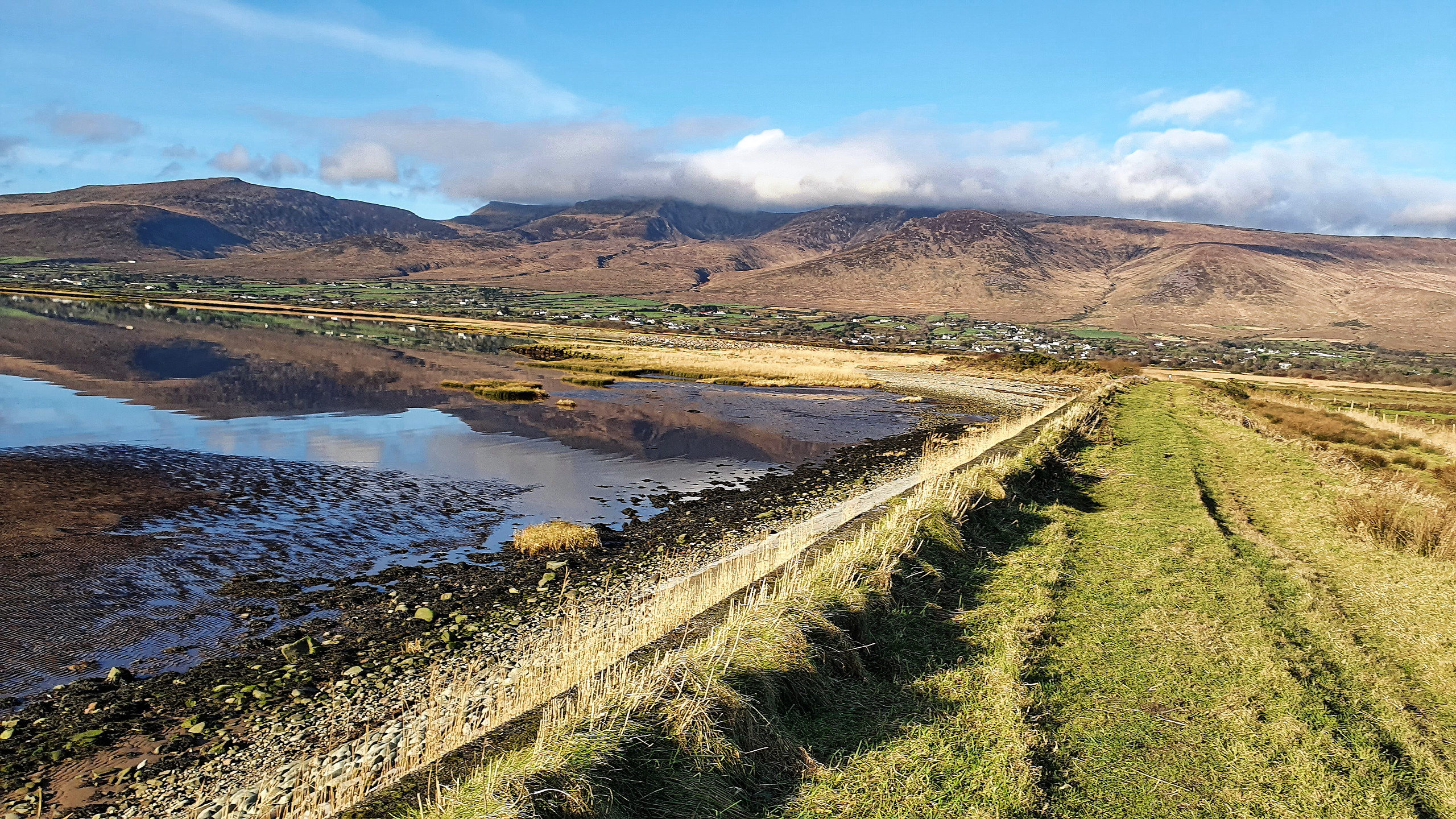
One possibility is to take the Caher Marsh Loop. This is a 3.9 kilometer walk that heads west from Laughtalla Pier. The path on the levee takes you along the harbour in the direction of the Dingle Peninsula’s Slieve Mish Mountains. When the levee ends, the path drops down into some fields, then circles back again to the pier.
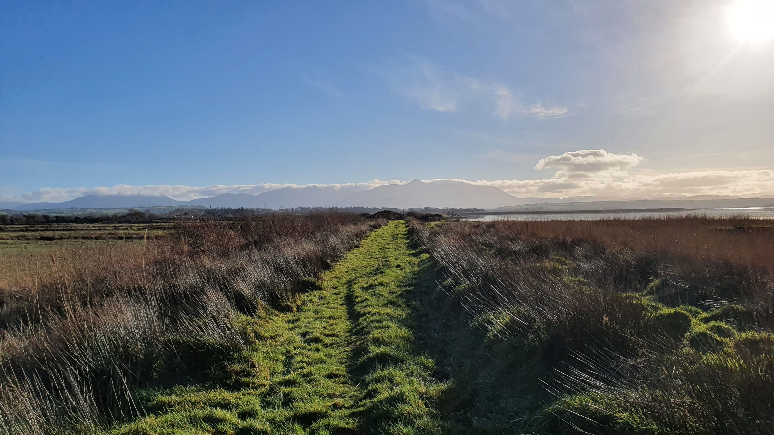
Another option is to walk east along the levee, where it leaves the harbour and begins heading upstream along the Maine River. The levee eventually leaves the river and turns north. At this time, you can either retrace your steps or head into the fields in the direction of Boolteen, where you will make a much larger circle back to Laughtalla Pier.
Our Walk
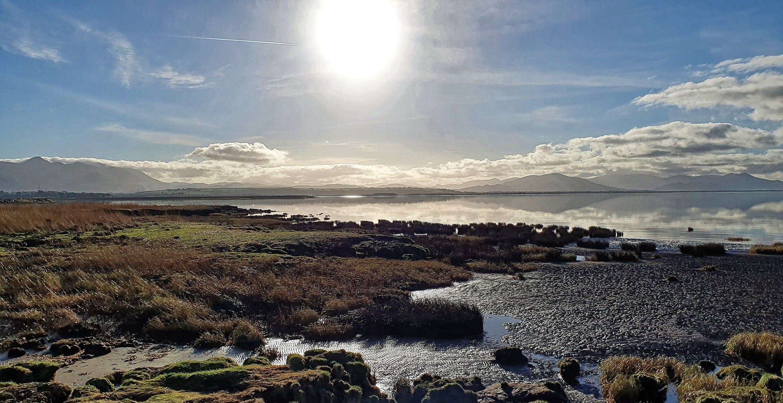
Gerhard and I decided to explore Castlemaine Harbour on an absolutely glorious January day. The weather was clear and calm, and every picture we took was breathtaking. Maybe it was the perfect weather or the landscape itself, but this turned out to be my favorite walk in Ireland so far except for the Black Valley.
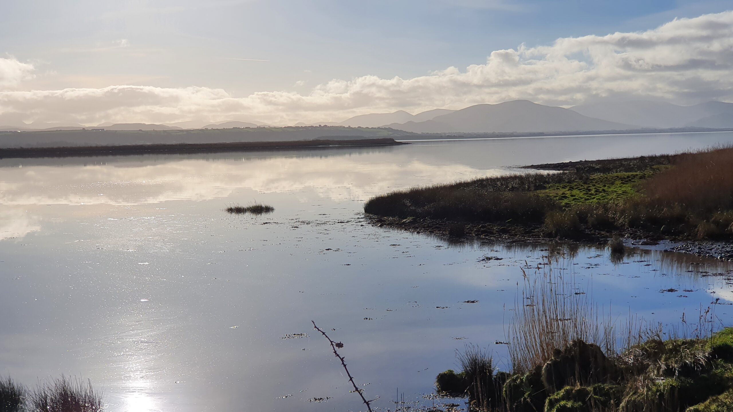
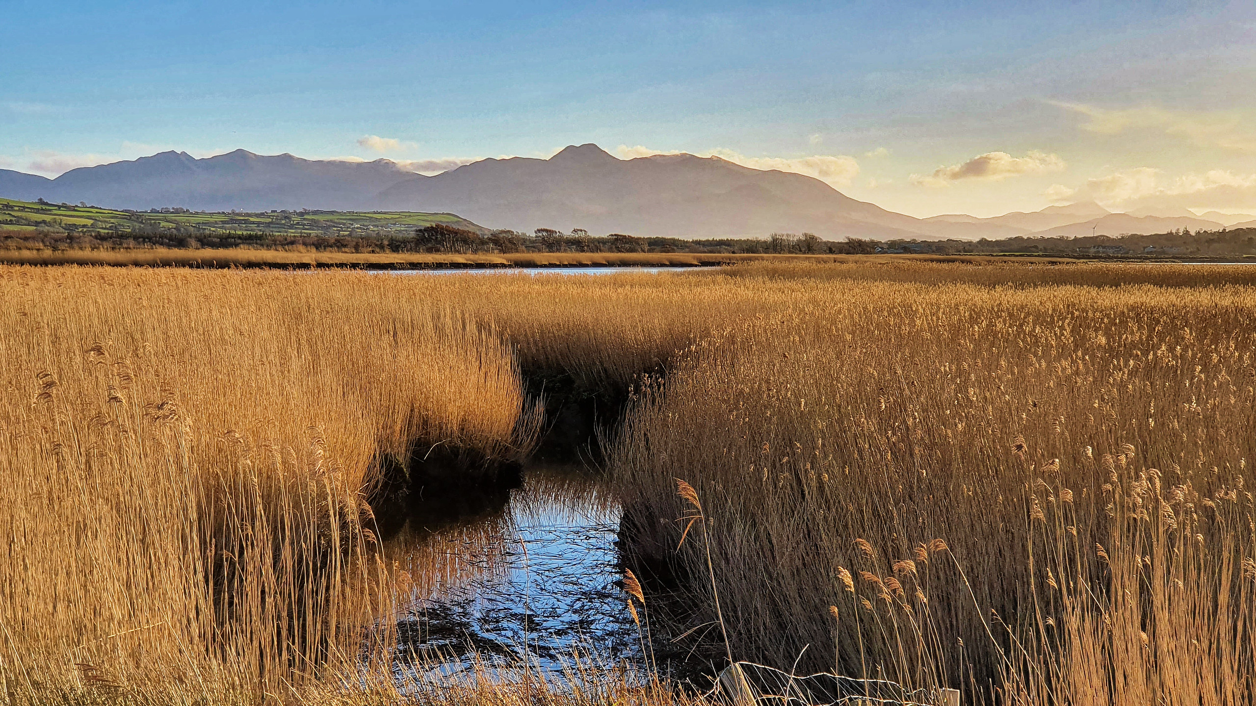
Starting at Laughtalla Pier, we headed west along the levee toward the Slieve Mish Mountains. When the levee ended, we retraced our steps back to the pier and then headed east.
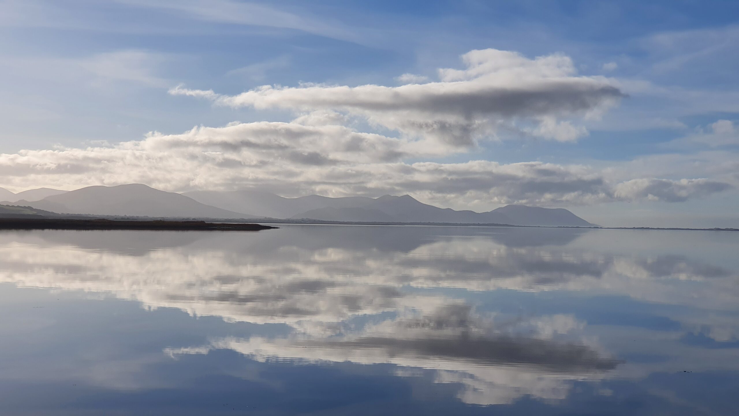
As we did so, we started walking along the estuary of the Maine River, which gave us beautiful views of the McGillicuddy Reeks mountains. This range, which is on the Iveragh Peninsula, is home to the three highest mountain peaks in Ireland.
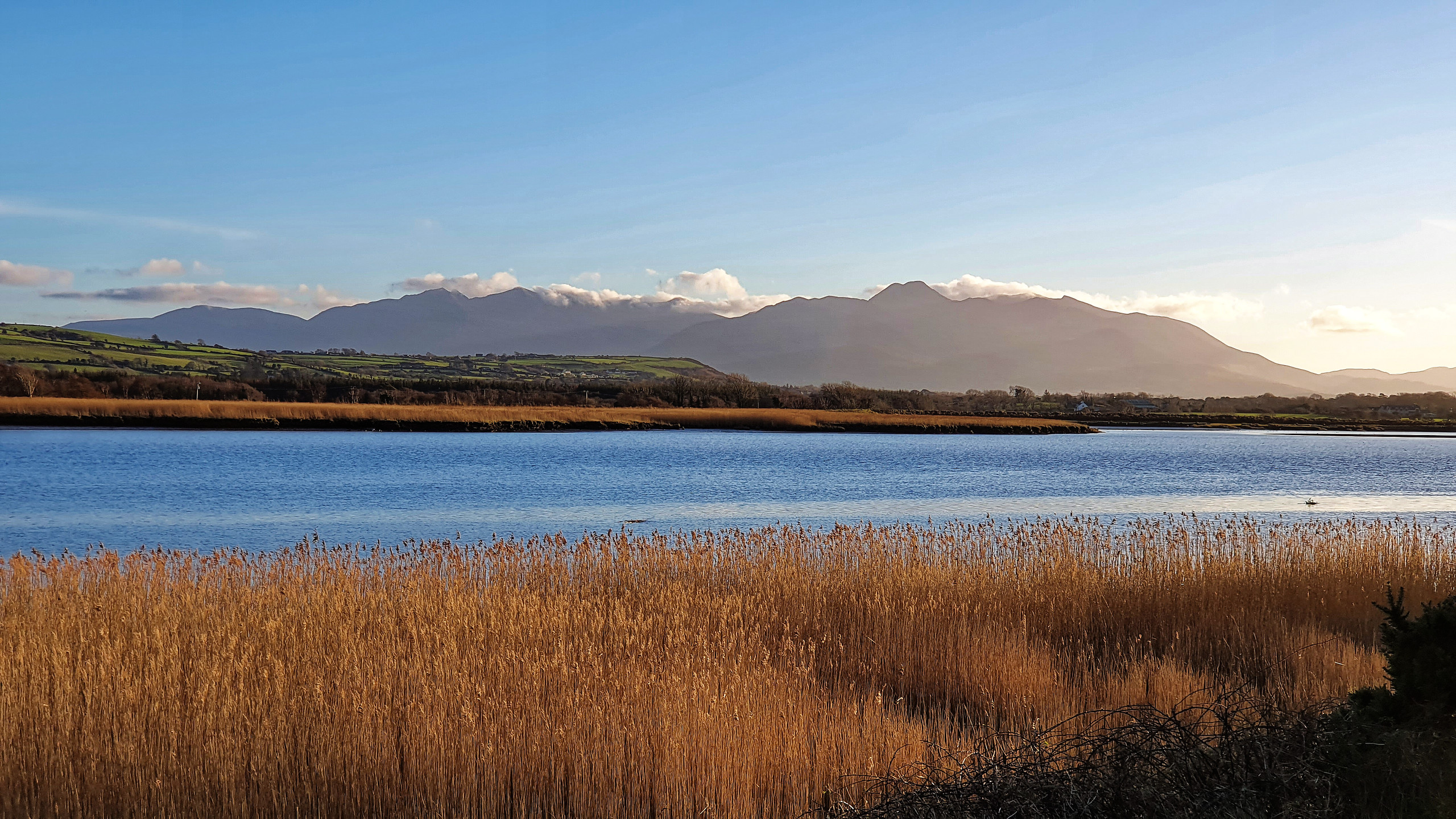
As you can see from the pictures, the views along the estuary and river were stunning.
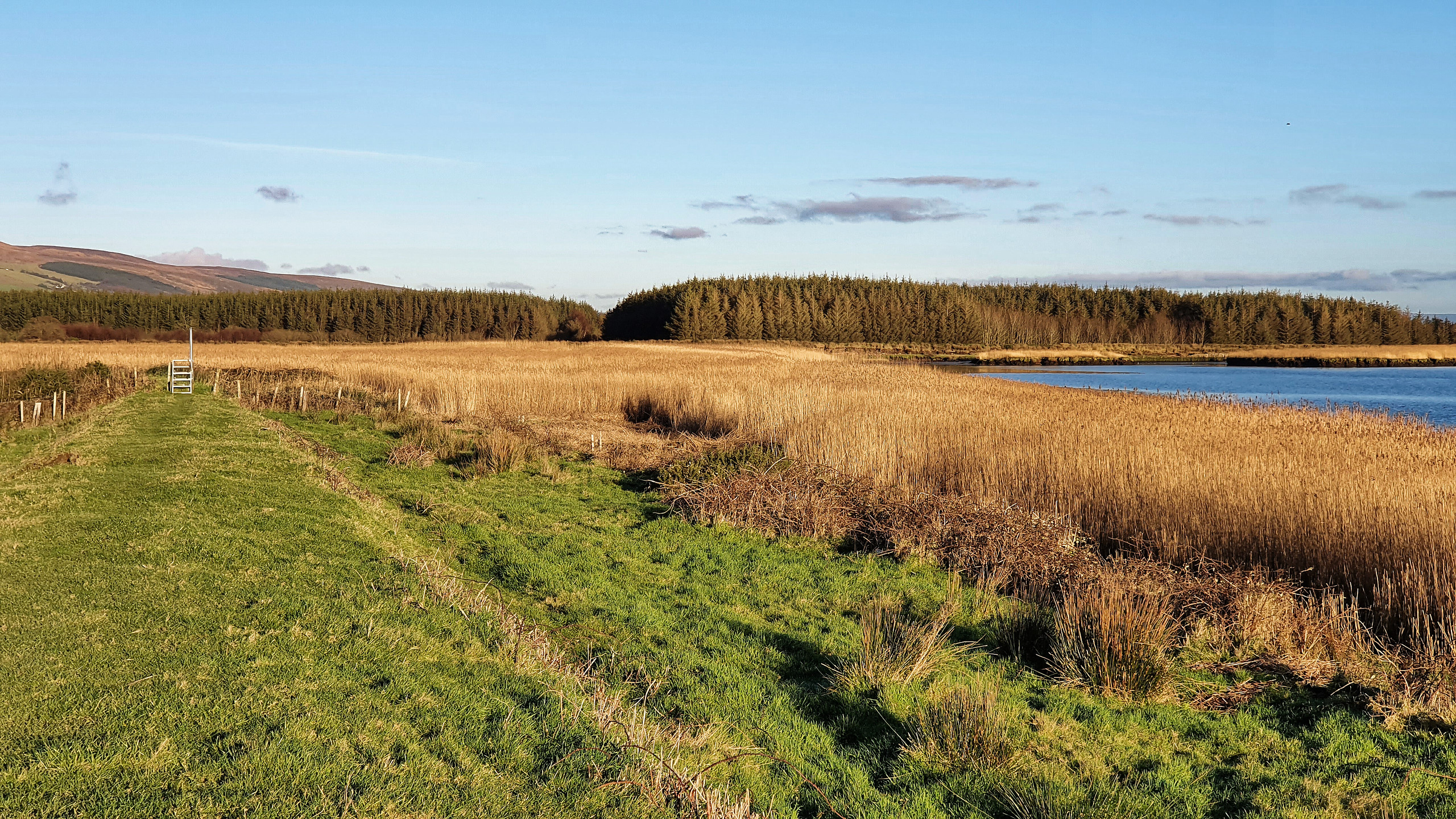
The path on the levee eventually ends its journey along the river and turns inland. Because evening was coming, we simply turned around and retraced our steps back to Laughtalla Pier (and our car).

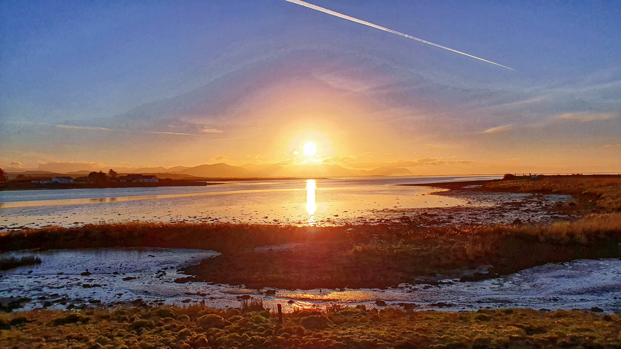
Gerhard couldn’t help taking a few last pictures of the harbour just as the sun was setting!
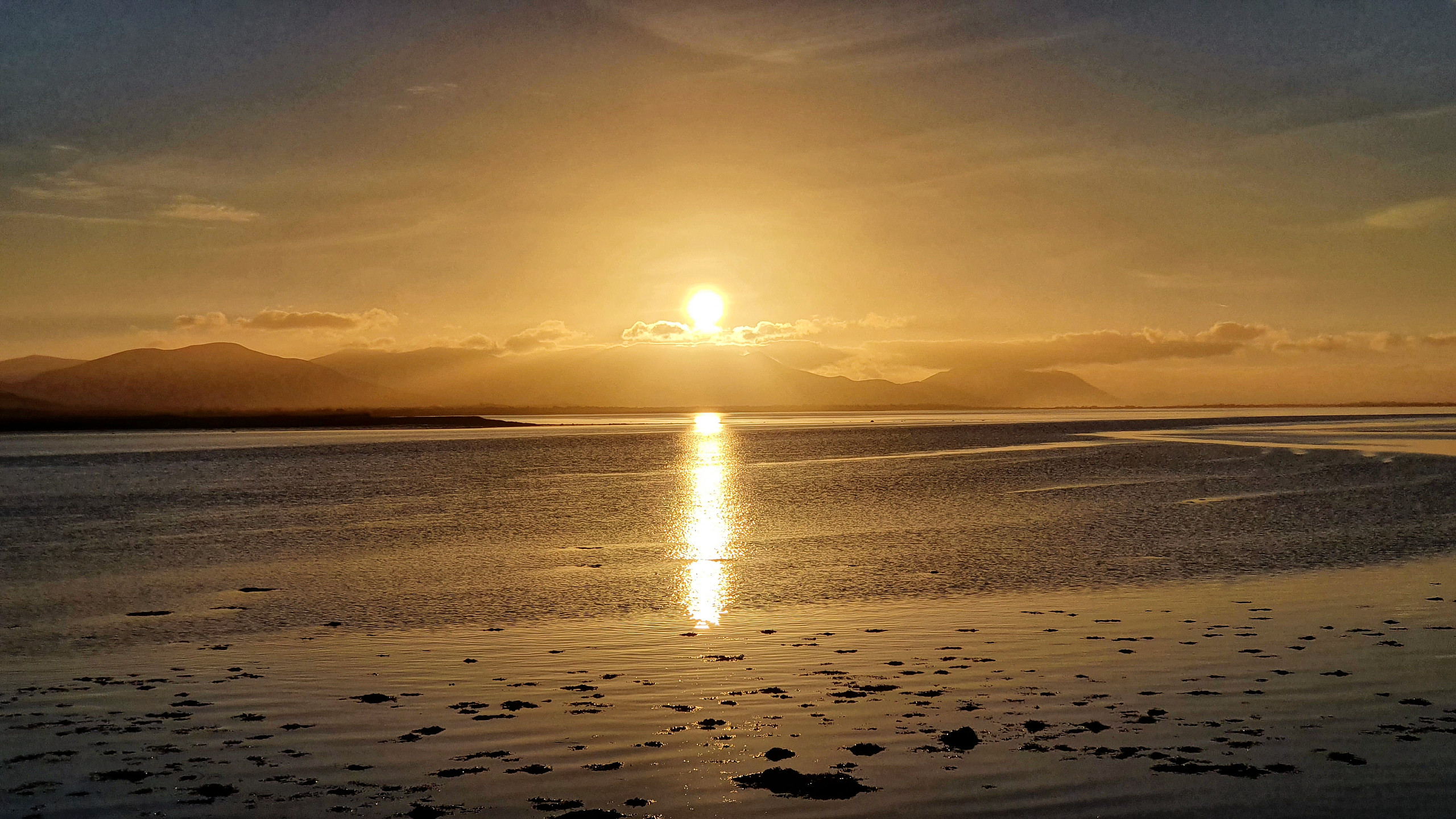
A magical ending to a wonderful day!
You have done a beautiful job of sharing your travels and interesting us viewers in the areas habitat. Thank you so much!
You’re welcome, Roberta. I’m glad you enjoyed the article.